
The Environment Agency issued a series of flood alerts across Shropshire due to melting snow from Storm Goretti and recent rain.
A combination of heavy rainfall on Sunday and rapidly melting snow has caused river levels to rise across the county.
As of Monday morning, several key river catchments are under “Flood Alert” status, meaning flooding is possible and residents should be prepared.
Current Flood Alerts in Shropshire
The following alerts were updated by the Environment Agency this morning:
River Severn in Shropshire: Levels are rising with peaks expected between Monday afternoon and Wednesday.
Severn Vyrnwy Confluence: Impacting areas from the Welsh border at Llawnt to Shrawardine, including Llanymynech and Melverley.
Tern and Perry Catchments: Affecting low-lying land between Market Drayton, Wem, and Newport.
Rea Brook and Cound Brook: Risk remains for land between Shrewsbury and Church Stretton.
Upper Teme: Affecting areas near Bishop’s Castle, Knighton, and Ludlow.
Ledwyche Brook and River Rea.
River Dee Catchment: Covering the English section from Whitchurch to Chester.
River Worfe.
Impact of Storm Goretti
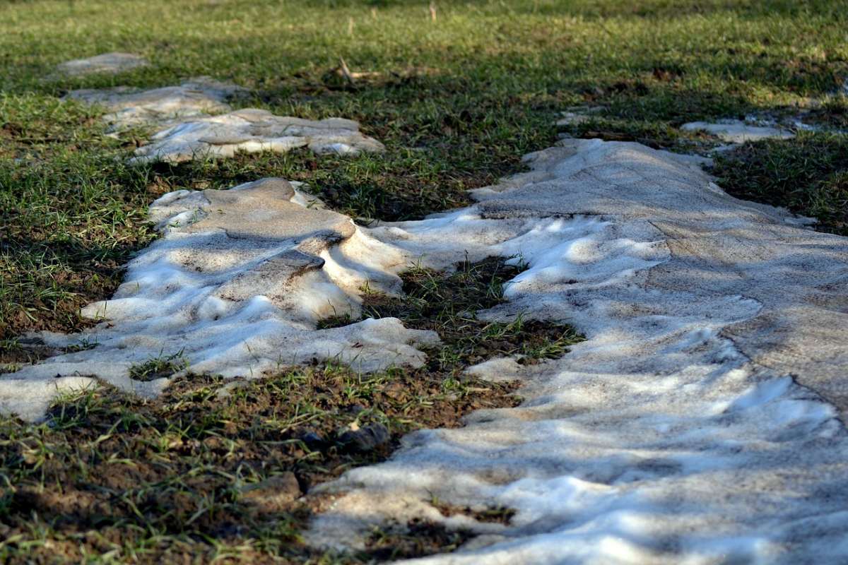
The sudden shift in weather follows a significant wintry spell caused by Storm Goretti, which brought snow across the county.
With temperatures rising to roughly 10°C today, the rise in temperatite has transitioned from ice and snow to a rapid thaw. Officials warn that the saturated ground is unable to absorb the volume of meltwater and additional rainfall, leading to immediate runoff into the river systems.
Safety Advice
Local authorities are urging the public to take the following precautions:
Avoid Floodwater: Do not walk, cycle, or drive through flood water. Just 30cm of moving water is enough to float a car.
Monitor Levels: Keep a close eye on local river levels, particularly if you live in low-lying areas like Ironbridge, Melverley, or Frankwell in Shrewsbury.
Check Footpaths: Many low-lying footpaths and bridges near watercourses are likely to be submerged or unstable.